Geography in Gir
The Gir National Park is a vast forested belt with its topography consisting in evergreen and semi-evergreen flora, rough jungle, acacia grasslands, rocky hills, untouched hills, valleys, marshlands, plateaus and more. Parks eastern side is concealed by dry and deciduous trees. Rest of the park consists wild woods interspersed by lush hilly grasslands separated by rocky, steeped canyon like gap. The northern side of the park is predominated by scrub land.
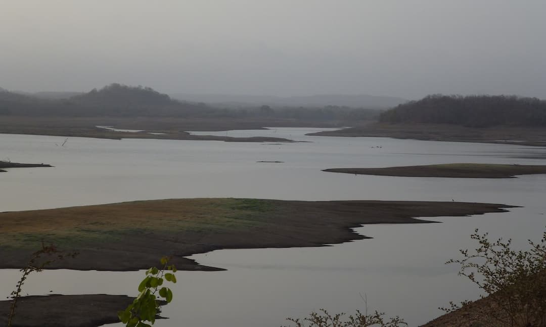
Geography of Gir has 7 major perennial rivers named Hiran, Shetrunji, Datardi, Shingoda, Machhundri, Godavri, and Raval. The area has four reservoirs at four dams, one each on Hiran, Machhundri, Raval, and Shingoda rivers. The biggest reservoir in the area is the Kamleshwar Dam also known as the lifeline of Gir.
In proper summer season, water for wild animals is available in surface of land at about 300 different points. In eastern part of the sanctuary drought is an issue due to poor rainfall when water is not available at majority of the waterpoints. Ensuring water check in peak summer is one of the major responsibilities of Forest Department Staff.
In the survey of Gir Forest more than 400 plant species were recorded by Samtapau & Raizada in 1955. According to the botany department of M. S. University of Baroda there are 507 species of plants during their survey.
More green areas are mostly in the eastern portion of the forest, which consumes nearly half of the total area. Numerous species of acacia are also found. Broadleaf trees provide cool shade and moisture content to the area.
The forest is a significant biological research area with considerable scientific, educational, aesthetic and recreational values. It serves approximately 5 million kilograms of green grass by annual harvesting which costs approximately Rs. 500 million. The forests also provides nearly 123,000 metric tons worth of fuel wood yearly.
Reviews
Flamingo planned a perfect trip for couple
Mr. Vatsal Patel
_20230110_151828.jpg&w=256&q=75) Jan
JanFlamingo made our honeymoon truly memorable
Mr. Het Shah
 Dec
DecGreat Time With Flamingo Transworld
Dr. Yashvi Shah
_20221114_155248.jpg&w=256&q=75) Jun
JunI Would Highly Recommend Flamingo
Mr. sagar savsani
 Jun
JunOverall Flamingo Did an Excellent Job
Mr. Chinmay shah
_20221114_123107.jpg&w=256&q=75) Oct
OctMr Amit follow up were good to help us
Vishal Prajapati
 Jul
JulMr Amit made sure that we have a flawless journey
Mr Sachin patel
 Apr
AprThanks flamingo for best memories!
Mr. Ashish shah
_20221001_163608.jpg&w=256&q=75) Apr
AprFlamingo team made sure that everything goes Well
Ms.Shruti Nayak
 Apr
AprWe give Five Star to Flamingo
Kulin Shah
 Apr
Apr