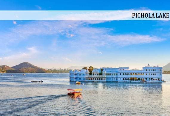
Geography in Pushkar
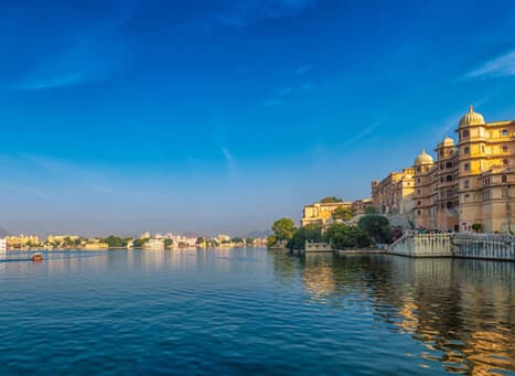
Pushkar city has developed around Lake Pushkar and falls in Ajmer District of Rajasthan. As per the geography of Pushkar the Aravalli ranges, the oldest mountain ranges of India surround it from all sides. The Nag Parbat or Nag Ranges of Aravalli Hills separate Pushkar Lake from Ajmer City. The city of Pushkar is situated 650-856 meters. And Pushkar valley is formed between the ranges of Aravalli Hills.
The soil and topography in the catchment are predominantly sandy with very low water retention capacity. The land use pattern in the Pushkar valley that drains into the lake comprises of 30% of the area under shifting sand dunes, 30%under hills and streams and 40% of the area is agricultural. The city is agriculturally unfit and main livelihood source is tourism.
Climate
The region experiences semi- arid climatic conditions with dry and hot summers and cool winters. Extreme temperatures are daily events for any desert. The summer months of May and June are the hottest, with a maximum temperature of around 46 degree. But during the months of winter the temperature is 25-10 degree and the entire region gets rainfalls from southeast monsoons.
Top Tour Packages
History with Adventure Lover Tour
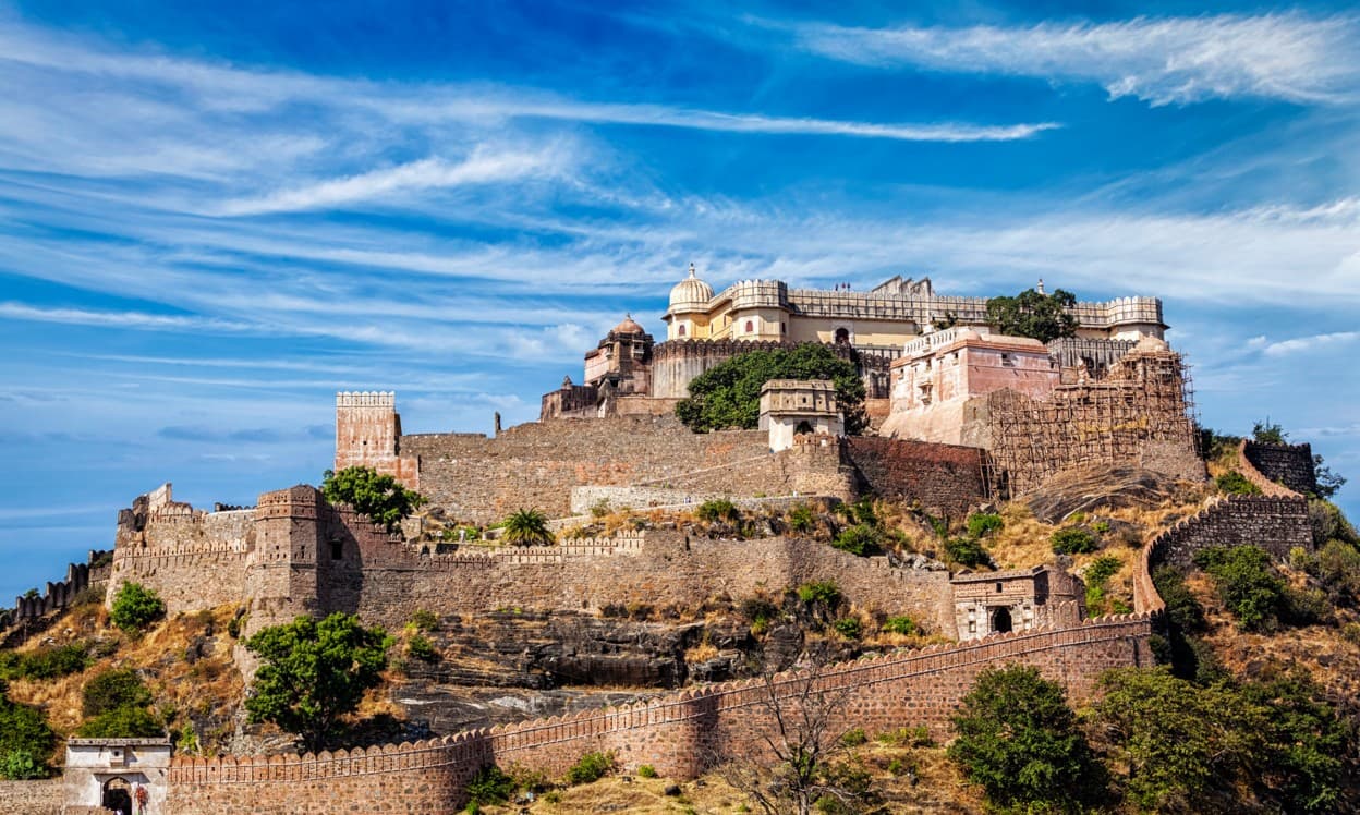
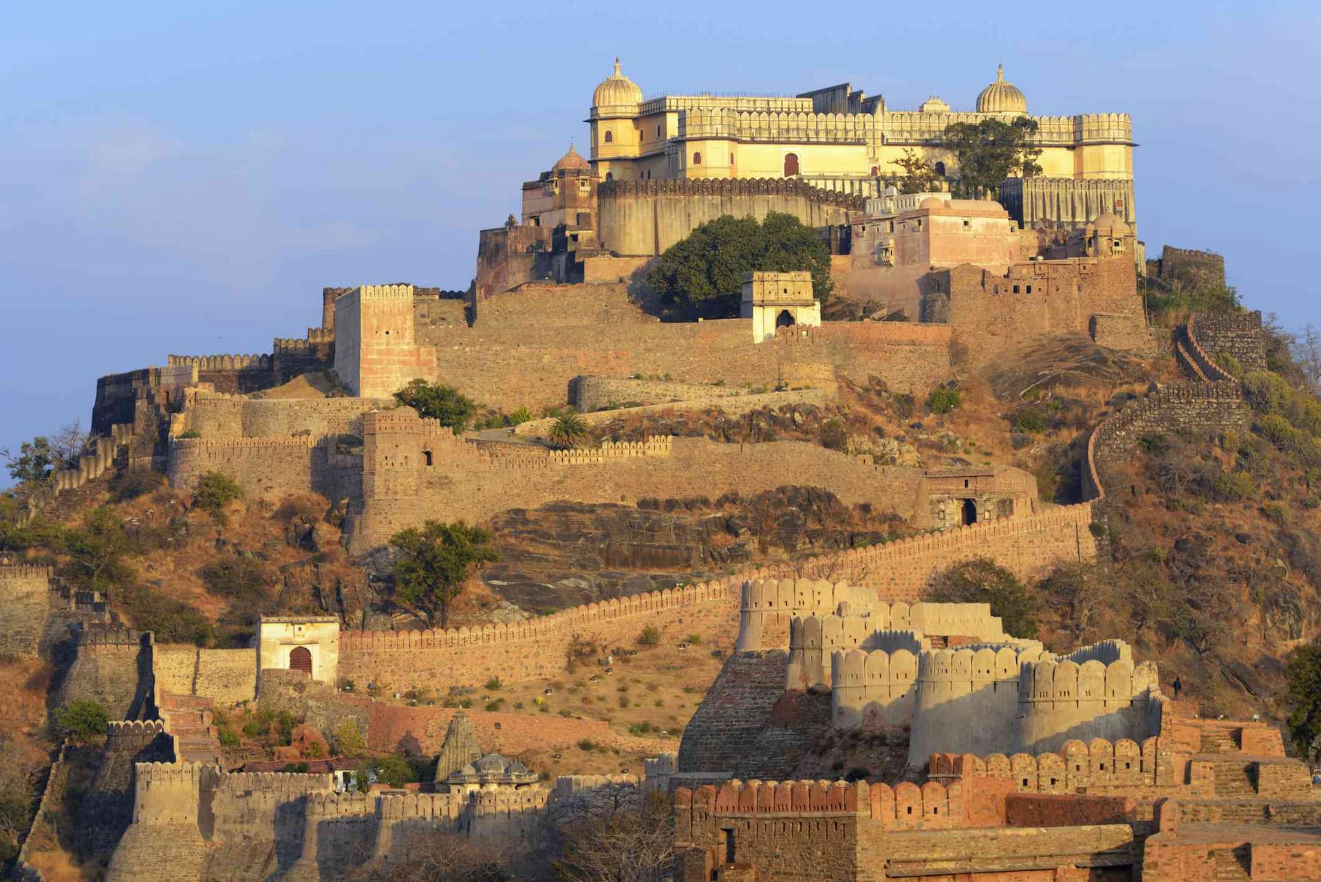
PoloForest (1N), Kumbhalgarh (2N)
Flight Not Included
₹17,870
per person- Valid upto 30 Sep 2026

Soulful India
New Delhi (1N), Agra (1N), Jaipur (2N)
Flight Not Included
₹18,940
per person- Valid upto 30 Sep 2026
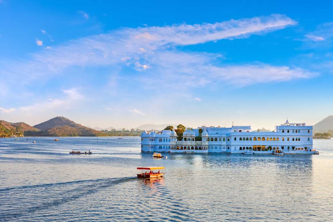
Lakes & Forts Of Rajasthan
Udaipur (2N), Kumbhalgarh (2N)
Flight Not Included
₹19,210
per person- Valid upto 30 Sep 2026
The Golden Rajasthan
Jodhpur (2N), Manvar (1N), Jaisalmer (2N)
Flight Not Included
₹27,120
per person- Valid upto 30 Sep 2026
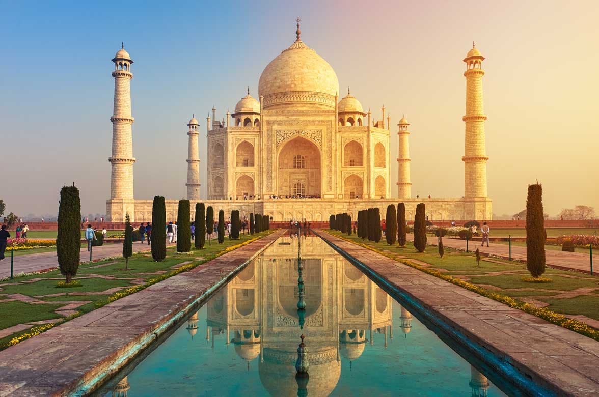
Golden Triangle
New Delhi (2N), Agra (1N), Jaipur (2N)
Flight Not Included
₹23,060
per person- Valid upto 30 Sep 2026
Exotic Rajasthan
Jaipur (2N), Bharatpur (1N), Ranthambore National Park (2N)
Flight Not Included
₹23,350
per person- Valid upto 30 Sep 2026

Heritage Rajasthan
Jaipur (2N), Bikaner (1N), Jaisalmer (2N), Jodhpur (2N)
Flight Not Included
₹33,660
per person- Valid upto 30 Sep 2026
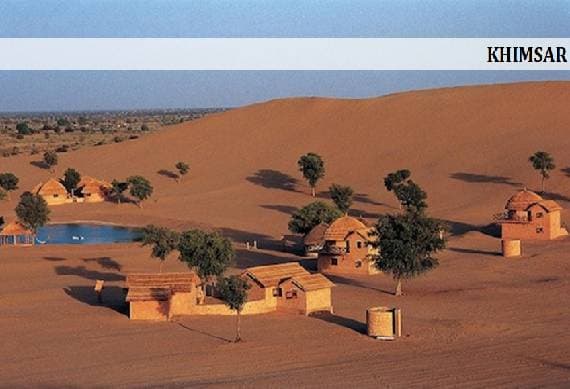
Best Of Rajasthan
Jodhpur (2N), Khimsar (2N), Ajmer (1N), Jaipur (2N)
Flight Not Included
₹37,830
per person- Valid upto 30 Sep 2026
Whole of Rajasthan
New Delhi (1N), Agra (1N), Jaipur (2N), Mandawa (1N), Bikaner (1N), Jaisalmer (2N), Jodhpur (1N), Udaipur (2N)
Flight Not Included
₹55,250
per person- Valid upto 30 Sep 2026
Kumbhalgarh 3 Star Hotel Deals
Kumbhalgarh (2N)
Flight Not Included
₹5,200
per person- Valid upto 31 Oct 2026
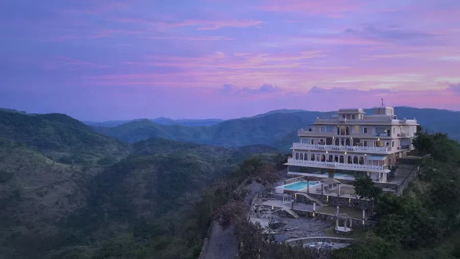
Kumbhalgarh 4 Star Hotel Tour Package 2 Night
Kumbhalgarh (2N)
Flight Not Included
₹9,740
per person- Valid upto 30 Sep 2026

Simplicity Rajasthan
Udaipur (2N), Kumbhalgarh (1N), Jodhpur (2N)
Flight Not Included
₹24,320
per person- Valid upto 30 Sep 2026
Gems Of Rajasthan
Mount Abu (2N), Pali (1N), Kumbhalgarh (1N), Udaipur (2N)
Flight Not Included
₹29,550
per person- Valid upto 30 Sep 2026
Golden Heritage
New Delhi (2N), Agra (1N), Jaipur (2N), Bikaner (1N), Mandawa (1N)
Flight Not Included
₹31,640
per person- Valid upto 30 Sep 2026

Royalty and Dunes - Rajasthan Group Tour
Jaisalmer (2N), Jaisalmer (1N), Jodhpur (2N)
Flight Not Included
₹36,000
per person- Dec
- Feb
- Jan
- Nov
- Oct

Golden Triangle Group Tour
New Delhi (2N), Agra (1N), Jaipur (2N)
Flight Not Included
₹39,000
per person- Dec
- Feb
- Jan
- Mar
- Nov
- Sep
Jewels Of Rajasthan
Udaipur (2N), Narlai (2N)
Flight Not Included
₹51,350
per person- Valid upto 30 Sep 2026
Happy Travellers
Memorable Spain And Portugal Journey with Flamingo
MS.Shilpa Parikh
Amazing USA West Coast Journey with Flamingo
MR.Atul Patt
Memorable Dubai Tour Experience
MR.Nitin Jariwala
Our Dubai tour was truly memorable. The hotel was good & the food was also good. Our Tour Manager Akbar Bhai had a very friendly and approachable nature. He provided quick responses to all queries. He offered excellent guidance for our visits, giving instructions repeatedly and on time to everyone. He also gave helpful guidance for shopping and purchases.
Memorable Spain And Portugal Tour with Flamingo Travels
MR. Bharat Patel
Great And Wonderful Vacation with Flamingo Travels
MR .Govind Patel

Memorable Spain And Portugal Vacation with Flamingo
MR. Jagdish Patel
Wonderful Spain And Portugal Trip with Perfect Planning And Execution
MR. Kaushik Patel
Incredible Spain And Portugal Journey with Wonderful Memories
MR. Virendra Patel
Amazing Spain And Portugal Tour Experience with Flamingo Travels
MR. Pankaj Patel
Knowledgeable Caring Tour Manager With Flamingo Travels
MR. Rohit Patel

Trending travel articles

Summary: Looking for a budget-friendly Bali trip in 2026? This blog shows how you can enjoy a relaxing 5-day Bali Trip under ?30000/- by choosing smart stays, simple food and the right places. Perfect for first-time Indian travellers looking for a budget-friendly Bali holiday. We all have seen tons of pics of temples, Bali Swing, […]

Summary: Your dream of exploring Japan is possible, even with a strict budget! This blog shares how Japan tour packages from India under ?3 lakh are possible. It covers real costs, budget tips, the best time to visit, and much more. It helps you understand how to save money and still enjoy a great Japan […]

Summary: A trip to Singapore can fit your budget with the right plan. This blog explains how Singapore tour packages from India under ?1 lakh work, what costs to expect, and how to save money. It helps you understand the best places to visit in Singapore in 2026 so you can enjoy this island country […]

Summary: Indian restaurants in Hanoi are more than just places to eat. They serve Indian food with a Vietnamese welcome. Whether you are a vegetarian, prefer halal food, or just miss home-style dal, these restaurants have it all. Every meal is served with care and a friendly smile, making you feel right at home in […]

Summary: Macau Travel – Macau is a city that never slows down—filled with luxury hotels, thrilling attractions, endless nightlife, and unforgettable energy. From staying at The Venetian to breathtaking Macau Tower views and vibrant casinos, Muskan Golecha’s experience captures the true spirit of a city that you don’t just visit, you live! Macau is one […]

Summary: If you want a calm, scenic, and well-paced trip, this 10 days itinerary for Switzerland is made for you. It suits families, honeymooners, seniors, and solo travellers. This plan combines top attractions with relaxed, easy travel days. It also keeps Indian comfort in mind. Read on to get the full day-by-day plan, smart tips, […]
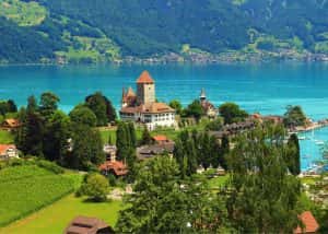
Summary: Switzerland in winter 2026 is pure magic, snow-dusted Alps, glittering Christmas markets, and cozy wooden chalets bring fairytales to life. Whether you are sipping hot chocolate by the beautiful Swiss lakes or exploring the festive streets of cities, it feels like a movie. Perfect for Indian travellers, families, and honeymooners. This blog helps you […]
Summary: Experience the magic of Christmas in Dubai 2025, where the city sparkles with lights, music, and festive cheer. From grand events to lively markets and fireworks, every corner feels joyful. Enjoy delicious food, family fun, and exciting shopping deals during the Dubai festive season. Plan your trip easily with Dubai Tour Packages and make […]

Summary: Experience the magic of a trip to Bhutan in December 2025, with clear skies, vibrant festivals, fewer crowds, and stunning mountain views. This blog guides you through weather updates, travel tips, places to visit, and must-try experiences for your perfect Bhutan holiday. Plan your relaxing, crowd-free visit to Bhutan and experience the authentic charm […]

Summary: Trip To Vietnam Under ?60000 – Dreaming of travelling to Vietnam without stretching your wallet? This blog shares how to plan your trip to Vietnam under ?60,000. It shares everything, including flights, hotels, meals, and activities. Discover must-visit cities, real cost breakdown, and much more to make your Vietnam tour package memorable yet budget-friendly. […]