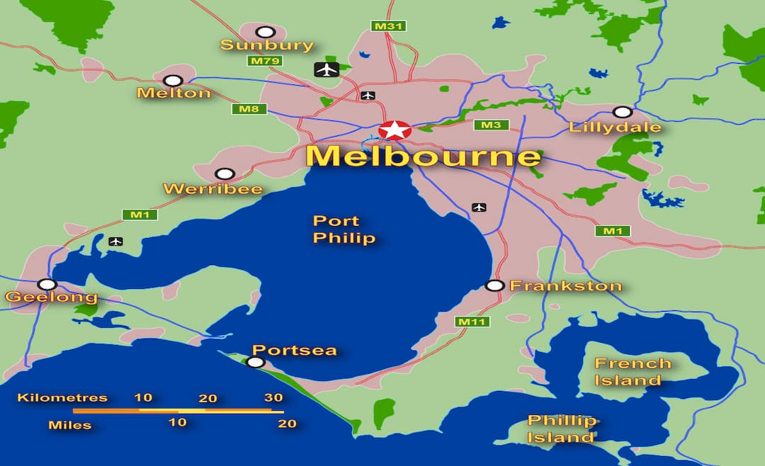
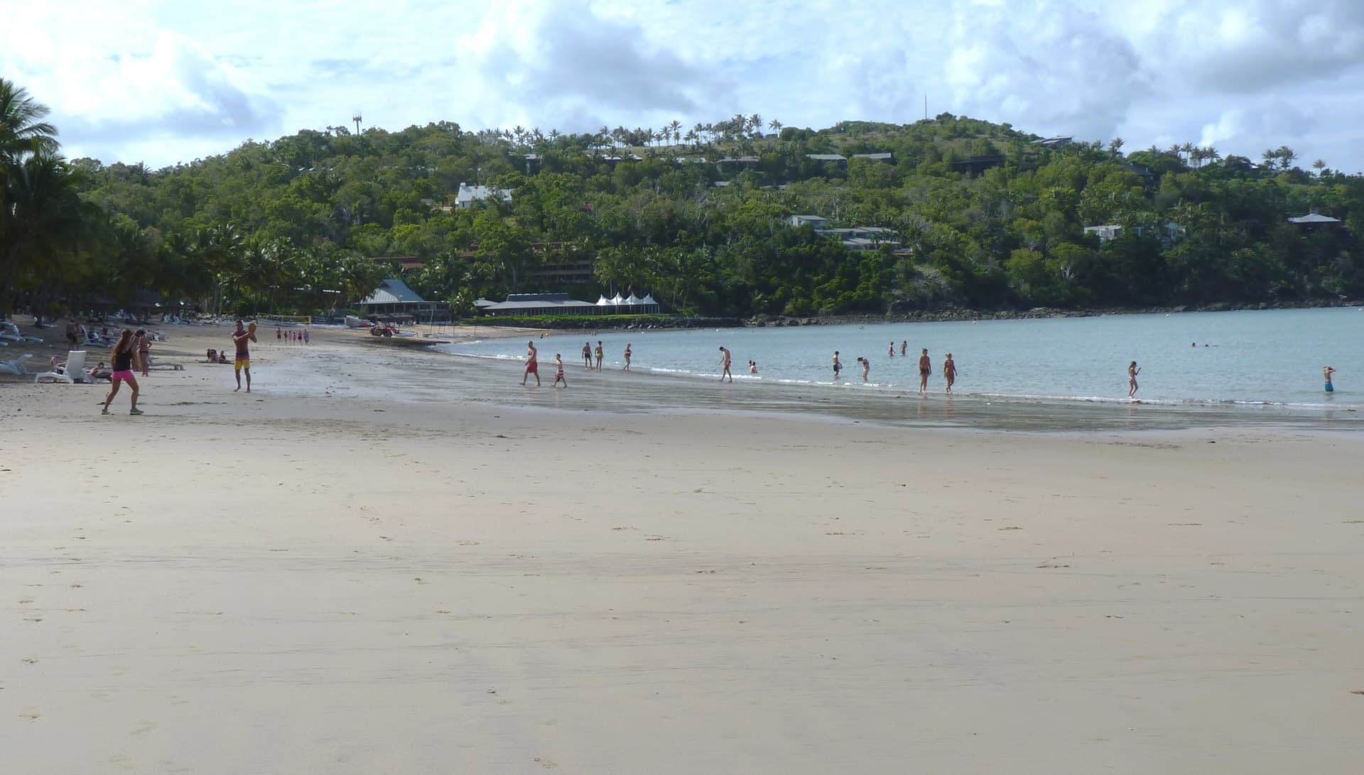
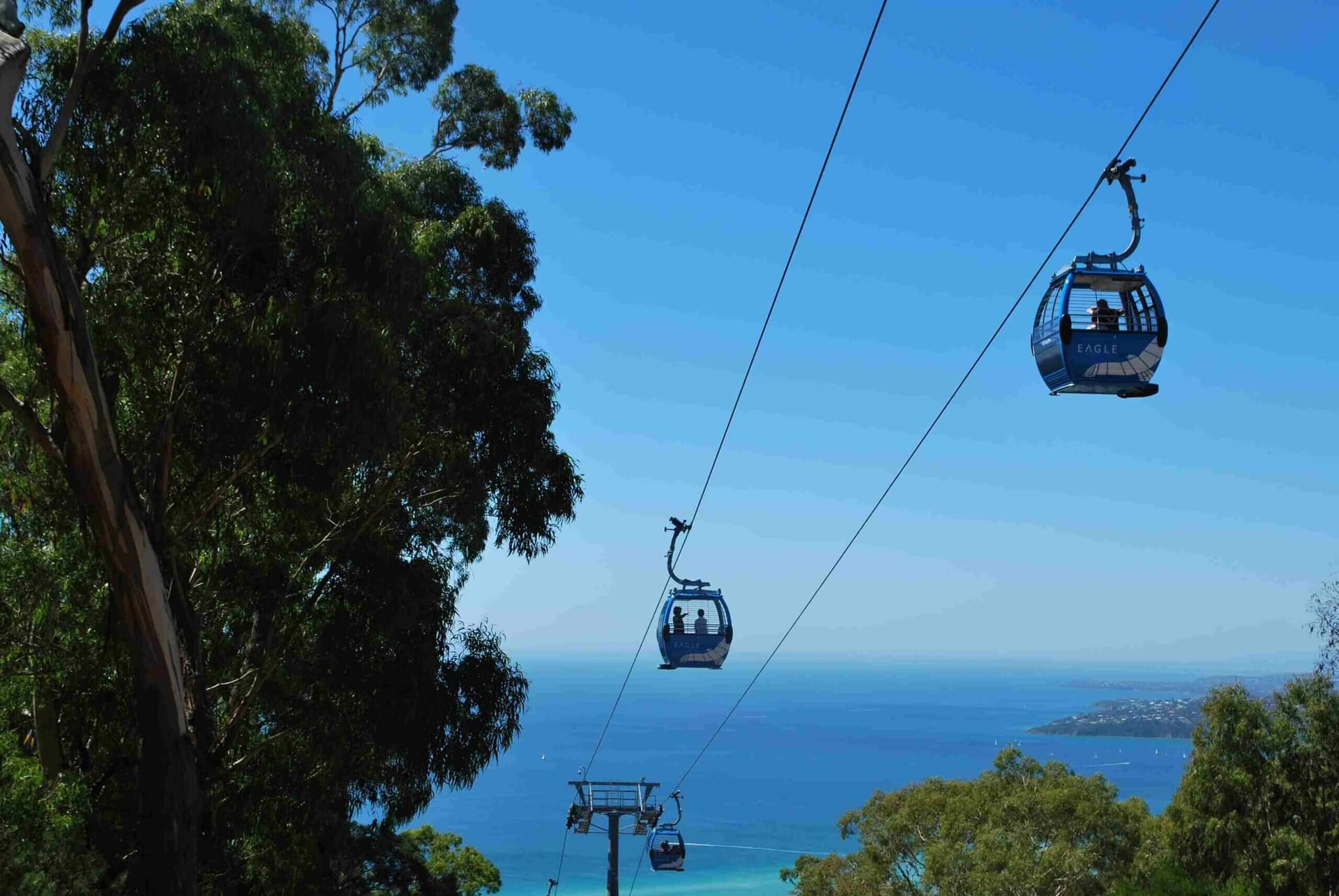
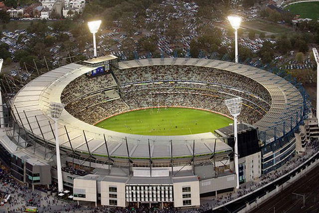
Geography in Melbourne
Top Tour Packages

Experience Australia
Sydney (3N), Cairns (2N), Melbourne (3N)
Internal Flight Included
₹2,72,110
per person- Sep

Experience Australia
Sydney (3N), Cairns (2N), Melbourne (3N)
Internal Flight Included
₹2,72,110
per person- Oct
Australian Discovery Tour
Melbourne (3N), Cairns (2N), Gold Coast (3N), Sydney (3N)
Main + Internal Flight Included
₹3,94,130
per person- Nov
Australian Dreams
Melbourne (3N), Cairns (3N), Gold Coast (3N), Sydney (3N)
Main + Internal Flight Included
₹4,51,950
per person- Nov
Australian Dreams Tour
Sydney (3N), Cairns (3N), Gold Coast (3N), Melbourne (3N)
Main + Internal Flight Included
₹4,53,950
per person- Nov

Experience Australia Tour Perth Special
Perth (3N), Cairns (2N), Melbourne (3N), Sydney (3N)
Main + Internal Flight Included
₹4,79,750
per person- Nov

Naturally New Zealand With Amazing Australia
Auckland (1N), Rotorua (2N), Auckland (1N), Christchurch (1N), Franz Josef (1N), Queenstown (3N), Sydney (3N), Cairns (3N), Melbourne (3N)
Internal Flight Included
₹5,61,230
per person- Oct

Experience New Zealand with Australia
Auckland (1N), Rotorua (2N), Auckland (1N), Queenstown (4N), Twizel (1N), Christchurch (1N), Sydney (3N), Cairns (2N), Melbourne (3N)
Main + Internal Flight Included
₹6,39,600
per person- Sep
Experience New Zealand with Australia
Auckland (1N), Rotorua (2N), Auckland (1N), Queenstown (3N), Franz Josef (1N), Christchurch (2N), Sydney (3N), Cairns (2N), Melbourne (3N)
Main + Internal Flight Included
₹6,49,810
per person- Oct

Experience Australia & New Zealand Ex Bom - Return Bom
Sydney (3N), Cairns (2N), Melbourne (3N), Christchurch (2N), Queenstown (3N), Auckland (1N), Rotorua (2N), Auckland (1N)
Main + Internal Flight Included
₹6,70,230
per person- Nov
Experience Australia & New Zealand Ex BOM - Return AMD
Sydney (3N), Cairns (2N), Melbourne (3N), Christchurch (2N), Queenstown (3N), Auckland (1N), Rotorua (2N), Auckland (1N)
Main + Internal Flight Included
₹6,72,230
per person- Nov

Experience New Zealand & Australia With Tranzalpine Train With Chef
Auckland (1N), Rotorua (2N), Auckland (1N), Queenstown (3N), Franz Josef (1N), Christchurch (1N), Sydney (3N), Cairns (2N), Melbourne (3N)
Main + Internal Flight Included
₹7,15,240
per person- Nov

Experience Australia And New Zealand
Melbourne (3N), Cairns (2N), Sydney (3N), Auckland (1N), Rotorua (2N), Auckland (1N), Queenstown (3N), Franz Josef (1N), Christchurch (2N)
Main + Internal Flight Included
₹7,39,640
per person- Dec
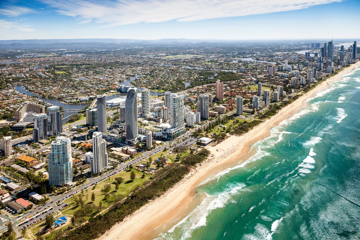
Amazing Queensland
Cairns (3N), Brisbane (3N), Gold Coast (3N), Hamilton Island (3N)
Flight Not Included
₹1,76,880
per person- Valid upto 30 Sep 2027
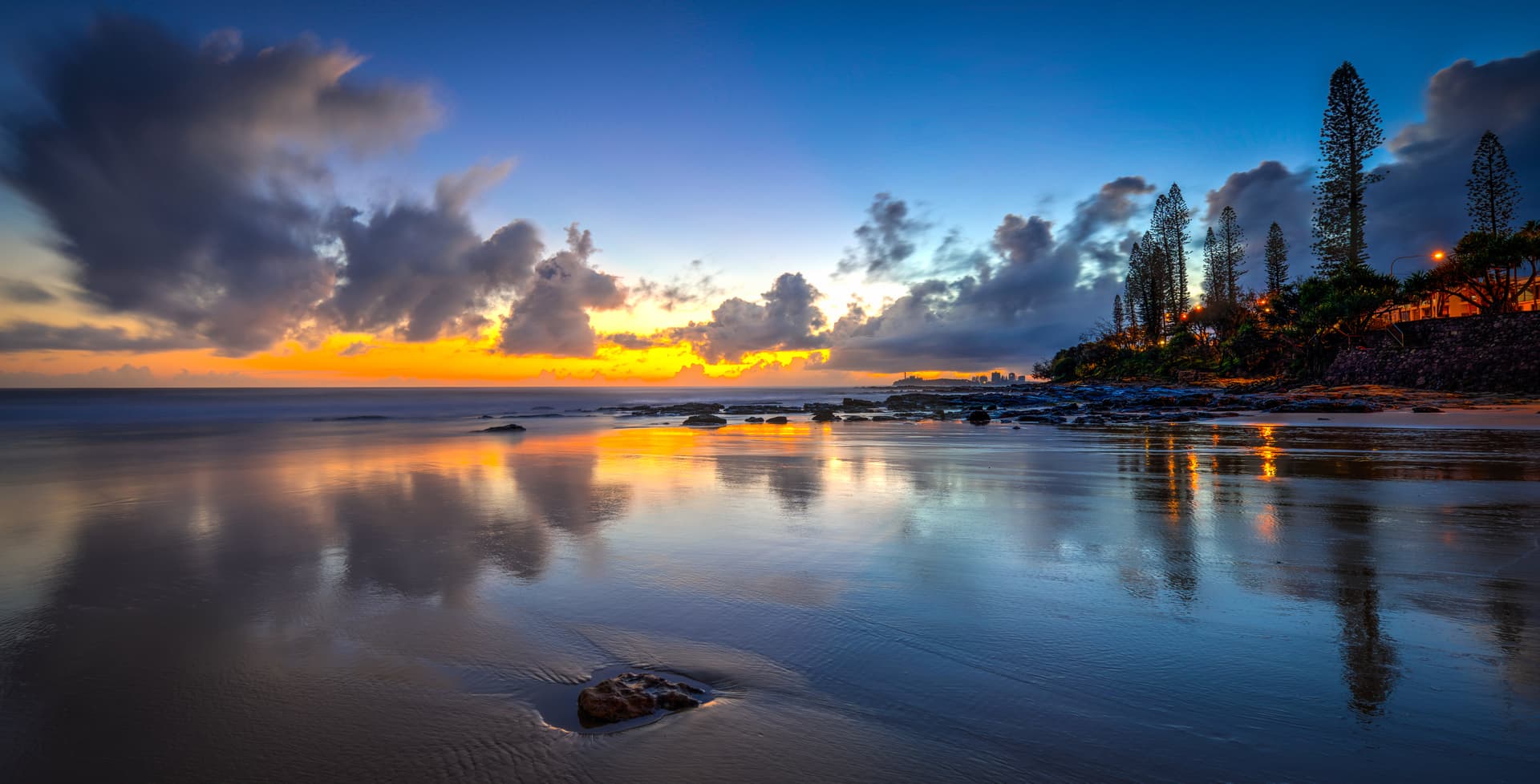
Brisbane to Sunshine Coast
Noosa Heads (2N), Mooloolaba (1N)
Flight Not Included
₹62,590
per person- Valid upto 30 Sep 2027

Highlights of Australia
Gold Coast (3N), Melbourne (3N), Sydney (3N)
Main + Internal Flight Included
₹2,71,190
per person- Valid upto 30 Sep 2027

Senior Citizen Special Australia
Sydney (3N), Cairns (3N), Melbourne (4N)
Flight Not Included
₹1,80,210
per person- Valid upto 30 Sep 2027
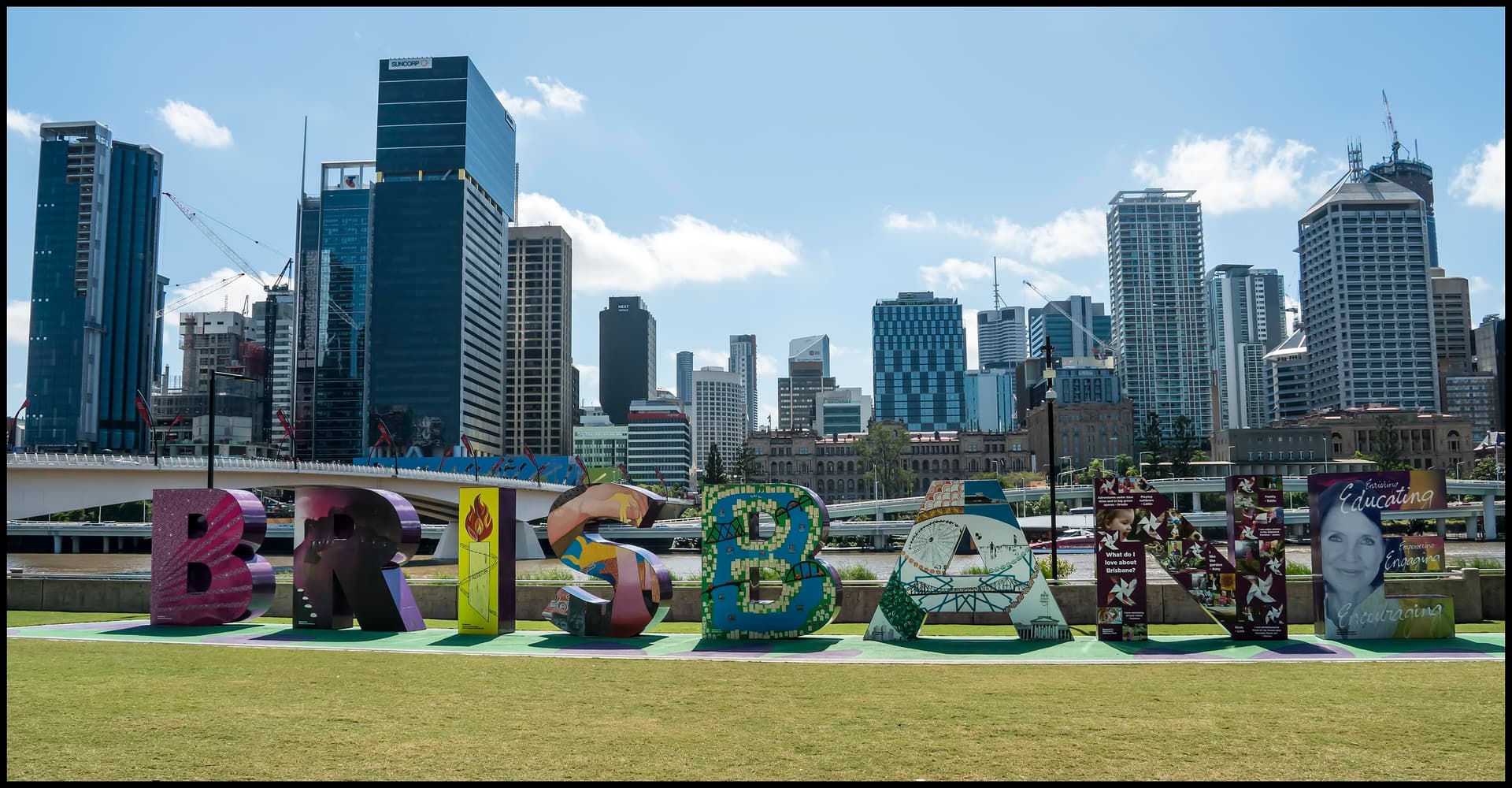
Highlights Of Queensland
Brisbane (2N), Gold Coast (3N), Cairns (3N)
Flight Not Included
₹2,10,890
per person- Valid upto 30 Sep 2027

Cairns to Cape Tribulation Self Drive
Port Douglas (2N), Cairns (1N)
Flight Not Included
₹1,01,640
per person- Valid upto 30 Sep 2027

Senior Citizen Special Australia - Private Basis
Sydney (3N), Cairns (3N), Melbourne (3N)
Flight Not Included
₹2,24,150
per person- Valid upto 30 Sep 2027

Honeymoon In Australia
Gold Coast (3N), Melbourne (3N), Cairns (3N), Sydney (3N)
Flight Not Included
₹2,20,280
per person- Valid upto 30 Sep 2027
Fabulous Queensland
Tangalooma (2N), Gold Coast (2N), Cairns (3N)
Flight Not Included
₹1,63,270
per person- Valid upto 30 Sep 2027
Spectacular Sydney With Canberra & Melbourne by Coach
Sydney (2N), Canberra (2N), Melbourne (2N)
Flight Not Included
₹94,770
per person- Valid upto 30 Sep 2027
Amazing Australia With Heavenly Hamilton
Gold Coast (4N), Hamilton Island (3N), Sydney (4N), Melbourne (2N), Melbourne (1N)
Flight Not Included
₹3,10,350
per person- Valid upto 30 Sep 2027
Gold Coast With Fraser Island
Fraser Island (2N), Gold Coast (3N)
Flight Not Included
₹1,27,080
per person- Valid upto 30 Sep 2027

Sunshine Coast with Montville
Montville (2N), Noosa Heads (1N)
Flight Not Included
₹88,850
per person- Valid upto 30 Sep 2027

Majestic Melbourne With Alice Springs And Uluru
Melbourne (3N), Alice springs (2N), Kings canyon (1N), Ayers Rock (2N), Sydney (3N)
Flight Not Included
₹2,09,120
per person- Valid upto 30 Sep 2027


Adventurous Tasmania
Hobart (1N), Freycinet (2N), Cradle Mountain (2N), Launceston (1N)
Flight Not Included
₹1,54,770
per person- Valid upto 30 Sep 2027
Beautiful City Life Of Perth– Adelaide & Melbourne
Perth (3N), Adelaide (3N), Melbourne (3N)
Flight Not Included
₹1,19,730
per person- Valid upto 30 Sep 2027
Family Fun Australia
Gold Coast (3N), Melbourne (3N), Cairns (3N), Sydney (3N)
Flight Not Included
₹2,30,070
per person- Valid upto 30 Sep 2027
Best Of Western Australia
Perth (2N), Busselton (1N), Margarte river (1N), Augusta (1N), Perth (1N)
Flight Not Included
₹61,230
per person- Valid upto 30 Sep 2027
Melbourne & Surrounds
Melbourne (1N), Yarra valley (1N), Philip island (2N), Mornington Peninsula (1N), Melbourne (2N)
Flight Not Included
₹1,00,350
per person- Valid upto 30 Sep 2027
Australian Experience - Melbourne & Sydney - Coach
Melbourne (3N), Flight (1N), Sydney (3N)
Flight Not Included
₹1,01,300
per person- Valid upto 30 Sep 2027

Experience Australia
Sydney (3N), Cairns (2N), Melbourne (3N)
Internal Flight Included
₹2,58,510
per person- Nov

Experience Australia With Chef
Sydney (3N), Cairns (2N), Melbourne (3N)
Internal Flight Included
₹2,82,320
per person- Dec
- Nov

Marathi Special - Australian Discovery Tour
Melbourne (3N), Cairns (2N), Gold Coast (3N), Sydney (3N)
Internal Flight Included
₹2,95,920
per person- Nov

Australian Discovery Tour
Melbourne (3N), Cairns (2N), Gold Coast (3N), Sydney (3N)
Internal Flight Included
₹3,43,540
per person- Dec
Experience Australia – Durga Pooja Special
Sydney (3N), Cairns (2N), Melbourne (3N), Gold Coast (3N)
Internal Flight Included
₹3,60,550
per person- Oct
Australian Discovery Tour
Sydney (3N), Gold Coast (3N), Cairns (2N), Melbourne (3N)
Main + Internal Flight Included
₹4,12,320
per person- Jan
Experience Australia
Sydney (3N), Gold Coast (3N), Cairns (2N), Melbourne (3N)
Main + Internal Flight Included
₹4,36,940
per person- Mar
Experience Australia
Melbourne (3N), Gold Coast (3N), Cairns (2N), Sydney (3N)
Main + Internal Flight Included
₹4,57,340
per person- Dec
Experience Australia With Chef Tour
Melbourne (3N), Cairns (2N), Gold Coast (3N), Sydney (3N)
Main + Internal Flight Included
₹4,89,150
per person- Nov
Experience Australia and New Zealand with Tranz Alpine Train
Melbourne (3N), Cairns (2N), Sydney (3N), Auckland (1N), Rotorua (2N), Auckland (1N), Queenstown (3N), Franz Josef (1N), Christchurch (1N)
Main + Internal Flight Included
₹6,84,830
per person- Feb
Experience Australia and New Zealand with Tranz Alpine Train
Melbourne (3N), Cairns (2N), Sydney (3N), Auckland (1N), Rotorua (2N), Auckland (1N), Queenstown (3N), Franz Josef (1N), Christchurch (1N)
Main + Internal Flight Included
₹6,85,830
per person- Mar
Amazing Australia With Naturally New Zealand
Melbourne (3N), Cairns (2N), Sydney (3N), Christchurch (1N), Twizel (1N), Queenstown (3N), Auckland (1N), Rotorua (2N), Auckland (1N)
Main + Internal Flight Included
₹6,86,430
per person- Jan
Naturally New Zealand & Amazing Australia
Auckland (1N), Rotorua (2N), Auckland (1N), Queenstown (3N), Twizel (1N), Christchurch (1N), Sydney (3N), Cairns (2N), Melbourne (3N)
Main + Internal Flight Included
₹6,98,830
per person- Jan

Experience New Zealand & Australia With Chef
Christchurch (2N), Queenstown (3N), Auckland (1N), Rotorua (2N), Auckland (1N), Sydney (3N), Cairns (2N), Melbourne (3N)
Main + Internal Flight Included
₹7,03,830
per person- Jan
Naturally New Zealand And Amazing Australia With Chef
Auckland (1N), Rotorua (2N), Auckland (1N), Queenstown (3N), Franz Josef (1N), Christchurch (1N), Sydney (3N), Cairns (2N), Melbourne (3N)
Main + Internal Flight Included
₹7,17,840
per person- Mar
Experience Australia And New Zealand With Chef
Melbourne (3N), Cairns (2N), Sydney (3N), Auckland (1N), Rotorua (2N), Auckland (1N), Queenstown (3N), Twizel (1N), Christchurch (1N)
Main + Internal Flight Included
₹7,18,040
per person- Jan
Happy Travellers
Memorable Spain And Portugal Journey with Flamingo
MS.Shilpa Parikh
Amazing USA West Coast Journey with Flamingo
MR.Atul Patt

Memorable Dubai Tour Experience
MR.Nitin Jariwala
Our Dubai tour was truly memorable. The hotel was good & the food was also good. Our Tour Manager Akbar Bhai had a very friendly and approachable nature. He provided quick responses to all queries. He offered excellent guidance for our visits, giving instructions repeatedly and on time to everyone. He also gave helpful guidance for shopping and purchases.
Memorable Spain And Portugal Tour with Flamingo Travels
MR. Bharat Patel
Great And Wonderful Vacation with Flamingo Travels
MR .Govind Patel

Memorable Spain And Portugal Vacation with Flamingo
MR. Jagdish Patel
Wonderful Spain And Portugal Trip with Perfect Planning And Execution
MR. Kaushik Patel
Incredible Spain And Portugal Journey with Wonderful Memories
MR. Virendra Patel
Amazing Spain And Portugal Tour Experience with Flamingo Travels
MR. Pankaj Patel
Knowledgeable Caring Tour Manager With Flamingo Travels
MR. Rohit Patel
Trending travel articles

Summary: Looking for a budget-friendly Bali trip in 2026? This blog shows how you can enjoy a relaxing 5-day Bali Trip under ?30000/- by choosing smart stays, simple food and the right places. Perfect for first-time Indian travellers looking for a budget-friendly Bali holiday. We all have seen tons of pics of temples, Bali Swing, […]

Summary: Your dream of exploring Japan is possible, even with a strict budget! This blog shares how Japan tour packages from India under ?3 lakh are possible. It covers real costs, budget tips, the best time to visit, and much more. It helps you understand how to save money and still enjoy a great Japan […]
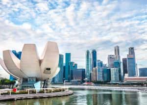
Summary: A trip to Singapore can fit your budget with the right plan. This blog explains how Singapore tour packages from India under ?1 lakh work, what costs to expect, and how to save money. It helps you understand the best places to visit in Singapore in 2026 so you can enjoy this island country […]

Summary: Indian restaurants in Hanoi are more than just places to eat. They serve Indian food with a Vietnamese welcome. Whether you are a vegetarian, prefer halal food, or just miss home-style dal, these restaurants have it all. Every meal is served with care and a friendly smile, making you feel right at home in […]

Summary: Macau Travel – Macau is a city that never slows down—filled with luxury hotels, thrilling attractions, endless nightlife, and unforgettable energy. From staying at The Venetian to breathtaking Macau Tower views and vibrant casinos, Muskan Golecha’s experience captures the true spirit of a city that you don’t just visit, you live! Macau is one […]

Summary: If you want a calm, scenic, and well-paced trip, this 10 days itinerary for Switzerland is made for you. It suits families, honeymooners, seniors, and solo travellers. This plan combines top attractions with relaxed, easy travel days. It also keeps Indian comfort in mind. Read on to get the full day-by-day plan, smart tips, […]

Summary: Switzerland in winter 2026 is pure magic, snow-dusted Alps, glittering Christmas markets, and cozy wooden chalets bring fairytales to life. Whether you are sipping hot chocolate by the beautiful Swiss lakes or exploring the festive streets of cities, it feels like a movie. Perfect for Indian travellers, families, and honeymooners. This blog helps you […]
Summary: Experience the magic of Christmas in Dubai 2025, where the city sparkles with lights, music, and festive cheer. From grand events to lively markets and fireworks, every corner feels joyful. Enjoy delicious food, family fun, and exciting shopping deals during the Dubai festive season. Plan your trip easily with Dubai Tour Packages and make […]

Summary: Experience the magic of a trip to Bhutan in December 2025, with clear skies, vibrant festivals, fewer crowds, and stunning mountain views. This blog guides you through weather updates, travel tips, places to visit, and must-try experiences for your perfect Bhutan holiday. Plan your relaxing, crowd-free visit to Bhutan and experience the authentic charm […]

Summary: Trip To Vietnam Under ?60000 – Dreaming of travelling to Vietnam without stretching your wallet? This blog shares how to plan your trip to Vietnam under ?60,000. It shares everything, including flights, hotels, meals, and activities. Discover must-visit cities, real cost breakdown, and much more to make your Vietnam tour package memorable yet budget-friendly. […]